Welcome to the Connecticut Officials exhibit, showing the evolution of Connecticut's official road map over the years. Each following page includes two scans of the official map for a given year, ranging from 1930 to the present.
("Official" is a noun given by collectors to maps issued by the state's department of transportation or similar government agency, to distinguish from maps issued by oil companies and so on. Officials often show more detail, include more timely information, and contain fewer errors than oil company maps.)
To see scans of the covers and of the roads in selected cities and towns, see the table to the right.
I'm unsure of the date of this first map, possibly because there is more than one answer. The state established its highway department in 1895, and it appears a road survey was done in 1893. Connecticut first mapped out a set of 14 trunk line roads in 1913, and I've seen an internal map for that date. After route numbers were publicly signposted in 1922, the state published a new map just about every year.
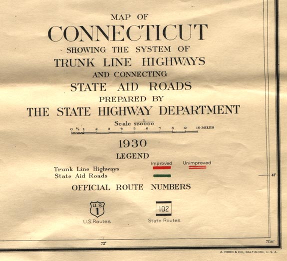
The first official map distributed to the public, according to Roadmap Collectors of America (RMCA) historians, was published in 1932. This coincides with the large-scale route renumbering occuring that year. The RMCA maintains a list of all known official Connecticut maps (as well as for other states and provinces).
The first publicly-issued maps were spartan affairs: printed only on one side, and without cover art, tourism information, or city insets. Bodies of water were inked in blue, and roads in black. In the late 1920s, the mapmakers added tinted overlaid lines (red, green, and amber) denoting trunk lines, state aid roads, and other improved roads; route numbers were inked in the same color alongside the road. The base map was still adapted from the original 1893 survey.
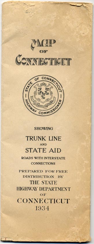
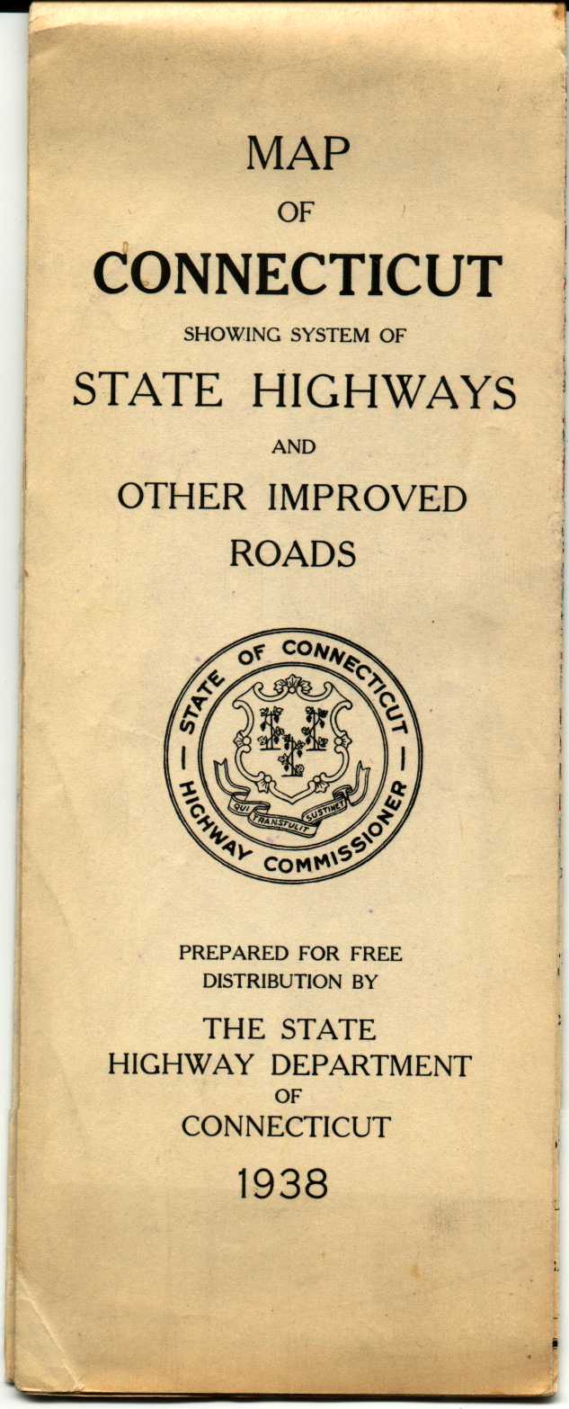
The 1934 and 1938 maps (the examples I own of this era) were about 36" wide by 22" tall, with nine horizontal panels and two vertical, folding into a tall 4" by 11".
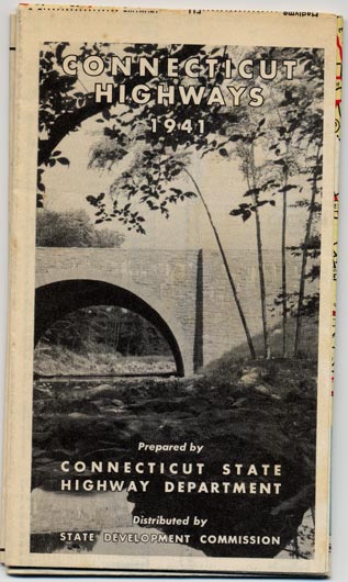
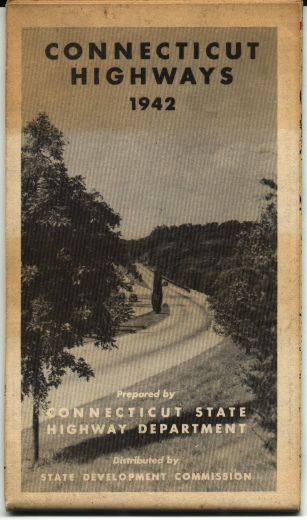
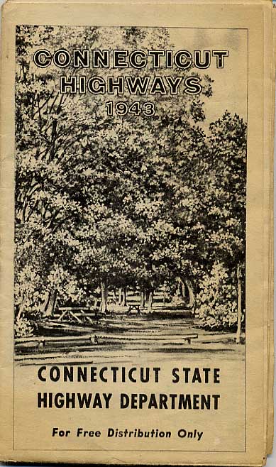
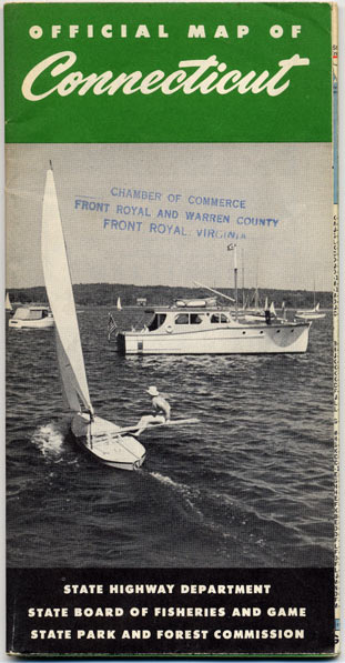
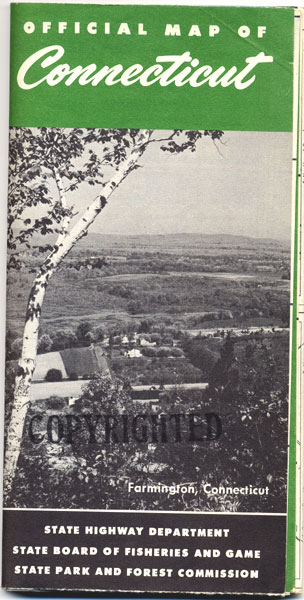
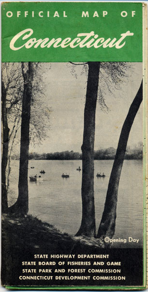
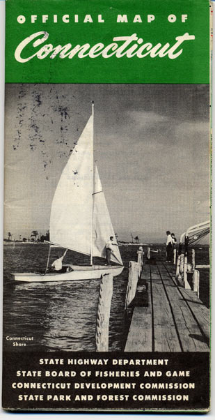
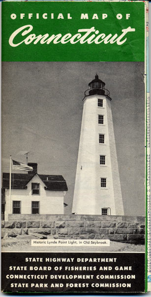
In 1941, the state issued its first two-sided map with city insets, based on a new road survey. The map folded into a much smaller area, and for the first time featured cover art, scenic photographs, and a strip map of the Merritt Parkway.
The redesigned map was profiled in a leisure driving section in the New York Times: "... The map has been little changed in size this year, but folds into much smaller dimensions... [insets] have been added and so placed that they may be consulted by opening the folded map book-fashion."
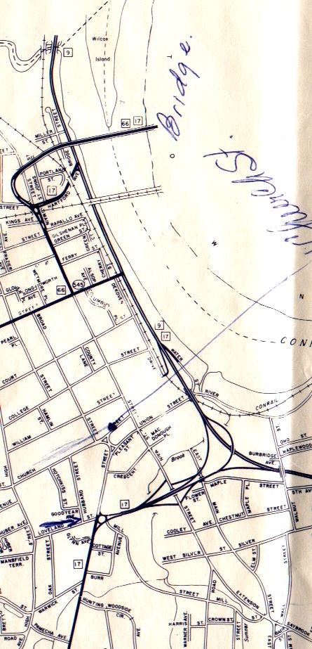
The insets showed magnified detail for Hartford, Waterbury, Danbury, New London, Norwich, New Haven, and Bridgeport. The main map showed all state-maintained roads in red, even the "secret routes" not signposted.
These maps were about 32" wide by 20" tall, with eight horizontal panels and three vertical, folding into 4" by 6.75".
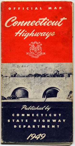
In 1949, cartography duties were given over to General Drafting, who plotted the state map until 1960 (except for Engineering Services of St. Louis in 1956). The maps were slightly taller (7.75") but the same width, folded and spread. The main map showed finer detail compared to the 1940s, and the city insets were now in color (red and black) as well.
General Drafting used the first Interstate shield on a Connecticut official map: Interstate 95 in 1958.
For only two years, 1961 and 1962, the state map was drawn by the National Survey of Chester, Vermont. The company is known for high-quality maps of New England during the 1920s.
The maps offered a few enhancements such as double red line with inlaid yellow for divided roads, but otherwise were similar to the General Drafting maps.
The 1963 map introduced the DOT's in-house cartography, with a main map that retained its style and format until the 1990s. Map detail was refined in both the main and city maps.
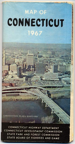
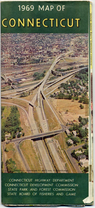
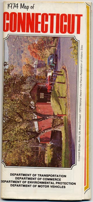
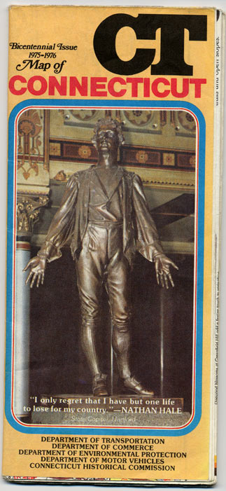
During the first few years, city insets were still placed on the reverse of the main map. In 1968, the map was made taller (9"), and city insets were moved to the front, surrounding the state map where Long Island Sound and Rhode Island would otherwise be. Very high-detail insets were added for the centers of Hartford, New Haven, and Waterbury. (See sample from 1975 map.) This general layout remains to this day.
In the 1989-90 map, the style for route markers was changed in the main map. City maps were left with the older markers.
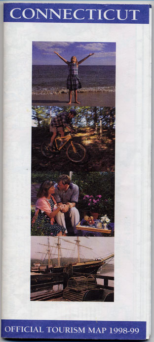
In 1998, both the main map and the city insets, both presumably hand-drawn before, were now drawn by computer. The layout and selection of city insets were otherwise unchanged. To me, it was a big step backward, as the new map doesn't look nearly as good as before. To tourists, however, it should still suffice, because the roads and cities are clearly shown.
In 2000, the map was expanded about 25%. The folded size was nearly the same as before (now about 1/4 inch taller), but the new map unfolded into 30 panels instead of 24. More space was created for some new insets (but as we see, there was not quite enough room for a certain city...)
To make room for this, the Danbury inset was removed -- a choice not popular with Danbury officials, since insets for several smaller cities were preserved.
The News-Times story (see footnotes) reported that the mapmakers compounded the snub by omitting the yellow shading, which signifies an urban area, from Danbury. (This is not accurate; starting with the 1998 map, ConnDOT redefined the shading to indicate those areas shown in detail in an inset. Danbury's missing shading is consistent with the missing inset.)
The DOT stated that the missing shading was a mistake (though technically it was consistent with the missing inset), and the next edition of the map would have a Danbury inset reinstated. The 2002-03 edition shows the DOT kept their word, and Danbury is back in the fold.
For road enthusiasts and historians, the state maps offer the most detailed, timely, and correct information you're likely to find on any glove-compartment map. However, some of the DOT's internal maps, though more difficult to find, tell the story even better.
A road historian's dream would be copies of every internal town and county map printed by the state, for every year printed. These maps are highly detailed and clearly mark all state roads, even the unposted "secret routes," excepting the modern 900-series roads.
Modern town maps are published as PDF's, but earlier ones were printed in a very crisp black and white. Here's a sample of the Middletown town map, reprinted by Merchant Maps in 1980. The best public source of old town and county maps is probably the State Library in Hartford.
Fortunately for you, the ConnDOT website provides town maps in PDF format. (The page says "1999", but the 2000 maps are already there.) The maps show all (or nearly all) streets, and all numbered routes. I even take a break from paper maps to compare the 1998 and 1999 maps.
These are only the ones that I own. The RMCA (see story) offers a complete list of all known maps.
Each map entry has, if available: