About MATR
Me and The Roads (MATR) was a 1999 response to many road enthusiasts (including me) looking for a good road network simulation game. SimCity 4 was a strong city-building game, but the roadway options were nowhere near as good as we wanted. Mapping and signage, for example, were nonexistent.
I had a lot of ambitious goals for MATR, but a lot of other priorities pushed it down to where it languished for more than a decade. Still, it's an interesting project, and in 2014 I brought it back to life, updated the code, and hosted it on github.
I've been writing some version of MATR since I was a kid. Here are the earlier versions (none of them available anymore):
- Basic, VIC-20: A fixed 10x10 grid with hard-coded road layout. Used 6502 assembler to scroll. Single route numbers only. Fixed overhead view. 90-degree corners. "Drive" interface, where you use arrow keys to follow the road.
- Pascal, PC: 20x20 grid, randomly laid out. Overlapping route numbers. Fixed overhead view, in EGA graphics mode. New: Signs for routes (as at rural intersections) appear in separate pane. On-screen map of layout.
- C++, Macintosh: 40x40 grid, randomly laid out. Fixed overhead view, still 90-degree corners. New: User-specifiable properties (range of route numbers, rules for generating spur routes). Multi-lane roads (up to 10 lanes) and freeways. Automatically generated interchanges. State, US, and Interstate shields. (Signs at route intersections still were in rural cutout format). The Mac version never got a map, but the intersections were more advanced than MATR still is.
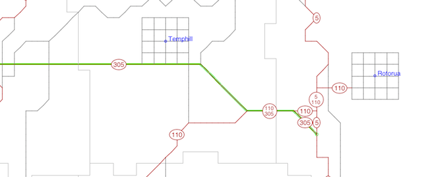
- Java, any OS, 1999: 100x64 grid. Randomly generated layout. 45-degree corners allowed. 3-D perspective view. Route and street signs placed in view. User can now renumber routes, pave new, move, unpave. Route log. Zoomable, pannable map integrated with rest of system.
- Java 7, 2014: Same as 1999, but with several bug fixes. Applet option is gone.