Kurumi.com
Roads:
Connecticut
3-digit Interstates
Signmaker
More
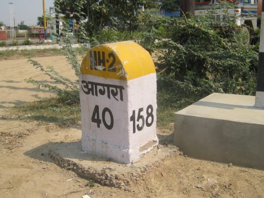
India photos have moved
See
my Flickr set
for the India photos.